Magnetic Island
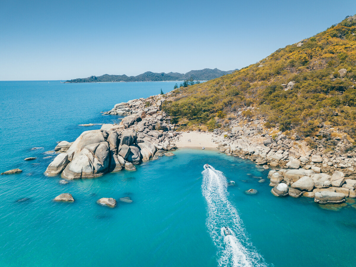
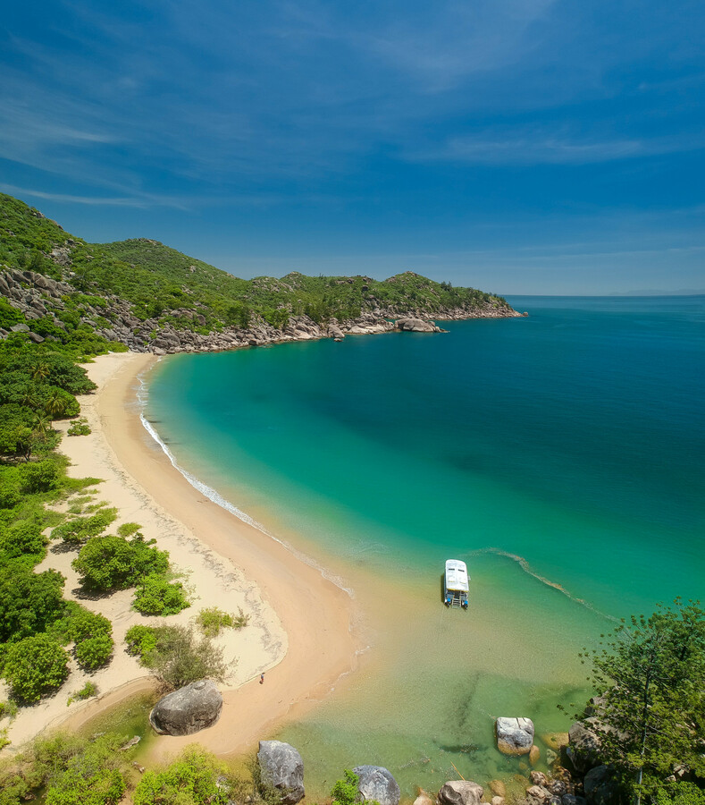
Magnetic Island National Park features spectacular natural landscapes and seascapes including boulder-strewn headlands, hoop pines, sandy beaches and fringing coral reefs. A continental island composed mostly of granite, Magnetic Island was once part of the mainland before the sea level rose about 7,500 years ago.
Just over half of the island (2,790ha) is protected as Magnetic Island National Park. The island is mostly covered with open eucalypt woodland of bloodwoods, stringybarks and grey ironbarks. Hoop pines and native kapoks are found on the headlands, and vine-thicket grows in sheltered gullies. The island is surrounded by sandy beaches, fringing reefs, mangrove communities and seagrass beds.
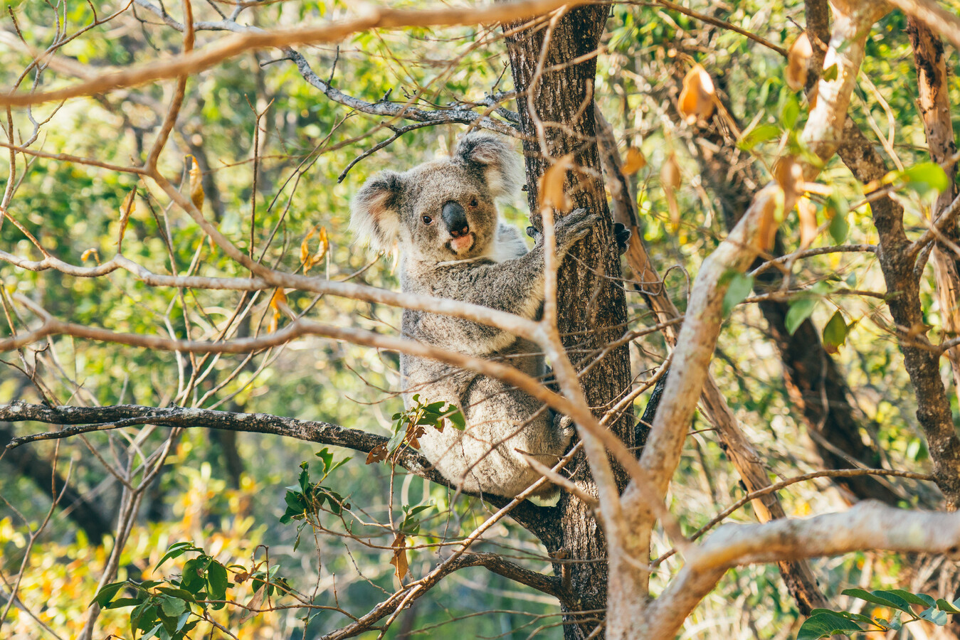
Sandy beaches provide turtle nesting areas and the mangrove communities are important fish nurseries. A significant dugong population is supported by Magnetic Island's seagrass beds. Allied rock-wallabies are found on steep slopes while koalas can be found in most wooded areas. A variety of seabirds, waterbirds and forest birds can also be seen here. The bush stone-curlew is still common on Magnetic Island.
The Wulgurukaba people, the 'canoe people', have lived on the island and nearby mainland for thousands of years. Shell middens, stone tools and art sites are physical reminders of their strong connection with the island. The island was named by Lt. James Cook during his 1770 voyage when he believed the island's landmass was affecting his compass. The island's interesting past has included hoop pine logging, a quarantine station for the port of Townsville, early tourism in the 19th century, pineapple farming and coastal defences during World War II. Magnetic Island's WWII forts are listed on the Queensland Heritage Register and are among the best examples of such fortifications on Queensland's east coast.
Written by Stephanie Williams
https://www.australia.com/en/places/cairns-and-surrounds/guide-to-magnetic-island.html